I Went on a Whirlwind Tour from Las Vegas to Grand Canyon, Antelope Canyon, Horseshoe Bend, Moenave Dinosaur Tracks, Route 66, and Seligman

Table of Contents
The other day, I had the chance to visit Las Vegas. It was a business trip rather than a vacation, but I decided to squeeze in a visit to the Grand Canyon between commitments.
Here is a summary of my memories from that journey.
Before Departure
This is the tour I joined:
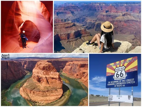
There are tons of tours heading to the Grand Canyon from Las Vegas, and I had a hard time deciding which one to pick, but here is how I did my research and made my choice.
Let’s Go to the “Real” Grand Canyon
There is Grand Canyon National Park, which is what people generally picture when they hear “Grand Canyon,” and then there is Grand Canyon West, which is a separate location closer to Las Vegas. Calling them “real” vs. “fake” feels a bit too harsh, but even when searching English-language discussions, there was an overwhelming chorus of “skip West, go to the National Park.”
Here is the breakdown Gemini summarized for me:
-
Grand Canyon National Park
- Location: Located in northern Arizona and managed by the National Park Service.
- Features: Spans the vast, breathtaking canyon vistas that people generally imagine when hearing “Grand Canyon.” In particular, the South Rim is easily accessible, packed with viewpoints, hiking trails, lodging, and more, and bustling with tourists throughout the year. There is also a North Rim, but it is closed during winter due to snow.
- Access: Takes about 4 to 5 hours by car from Las Vegas.
- The So-Called “Real Deal”?: Given its grand scale and natural beauty, many people likely consider this the “real Grand Canyon.” It is also designated a UNESCO World Heritage site.
-
Grand Canyon West
- Location: Located west of Grand Canyon National Park, within the reservation of the native Hualapai Tribe. It is not a national park.
- Features: Managed and operated by the Hualapai Tribe. Its biggest highlight is the Skywalk, a glass-floored observation deck jutting out roughly 1,200 meters above the canyon floor. You can enjoy thrills and scenery distinct from the National Park. Helicopter tours are also popular.
- Access: Takes about 2 to 3 hours by car from Las Vegas; being closer than the National Park, many day tours operate here.
- The So-Called “Fake”?: It might get called that because it is not a national park and features man-made attractions like the Skywalk. However, it is still part of the Grand Canyon and a sightseeing destination with its own unique charm.
- If you want to take your time enjoying majestic natural scenery, Grand Canyon National Park (especially the South Rim) is recommended.
- If you want an easy day trip from Las Vegas or want to experience the Skywalk, Grand Canyon West is an option.
I am not particularly interested in man-made attractions. If I was going all the way out there, I wanted to see the canonical Grand Canyon—the real Grand Canyon that is Grand Canyon National Park. So first, I narrowed down the candidates to tours heading for Grand Canyon National Park.
Transportation
Next, I thought about transportation methods.
- Drive myself
- Requires an International Driving Permit.
- Guaranteed to be exhausting, and I’d probably crash.
- Bus/van tour
- Roughly 5 hours one way. Basically takes an entire day or more.
- Cheap.
- Helicopter tour
- Arrives in about 40 minutes one way.
- Expensive.
The casual ease and luxury vibe of a helicopter was appealing, but as someone whose compulsory education consisted of GTA
Other Requirements
Recent world affairs are looking pretty dubious, and if Trump keeps running amok, I might lose the chance to visit America altogether. So I wanted to hit as many sightseeing spots as possible.
That’s when I stumbled upon the aforementioned tour.
Follow Route 66! Grand Canyon National Park & Antelope & Dinosaur Tracks & Horseshoe Bend Day Tour <Japanese Guide / VELTRA Exclusive Eco Bag Gift>
An itinerary that basically crammed in everything humanly possible. While most day tours depart early in the morning between 5:00 AM and 7:00 AM, this tour departed at 2:00 AM in the middle of the night.
I am terrible with mornings, so with an early-morning departure I would definitely overslept and ruined everything. Therefore, leaving at 2:00 AM was a huge plus.
While I had made up my mind about which tour to take, I still felt a lingering guilt and dread about ditching my business trip for an entire day, and agonized over it for about three days. But necessity knows no law. Better to regret doing something than regret not doing it. Even if I get chewed out, that’s a small price to pay for gazing upon the Grand Canyon.
And so, I confirmed my booking two days before arriving in Las Vegas.
Never forget the meaning of the journey itself. The destination is not everything. Before you reach the end, take in this world with your own eyes…
Just like Venti said. Before I reach the final destination of my conference, I must take in America.
Departure (2:25)
My pickup location was set for 2:25 AM at the Bellagio Hotel. Apparently, if you book more than three days in advance, they try to accommodate you with a pickup spot easy to reach from your lodging. Since I booked at the very last minute, I doubt they gave me special consideration, but fortunately it was close to Planet Hollywood where I was staying.
I killed time playing in the Bellagio casino until the hour arrived, then headed to the meetup point.
The pickup location is a bit tricky to find. You exit through the main entrance, turn right, and find an escalator leading underground. Down there is the tour bus pickup area.
Finally departing. The inside of the van looked like this:

According to my prior research, during peak tourist seasons (like Golden Week, perhaps?) they sometimes cram dozens of passengers into a standard tour bus. But this was an ordinary weekday departure, so it was a two-van convoy with 9 passengers in one and 5 in the other. Plus, I got a solo seat. Another stroke of luck.
At departure, we received a shopping bag from the popular organic grocery store Trader Joe’s (commonly called Tre-Jo in Japan). To be honest, I had never heard of it, but when I gave it to my family as a souvenir, they were thrilled.

A shot from the van window. Farewell, Las Vegas.

Sorry, I can’t make it to the conference. I am on my way to the Grand Canyon.
Stargazing (3:40)
Inside the van, the guide kicked things off with self-introductions, followed by an overview of the whole tour and explanations of American traffic conditions.
Around 3:40 AM, we reached our stargazing spot. I don’t know the exact coordinates, but according to the photo’s geotag, it was around here:

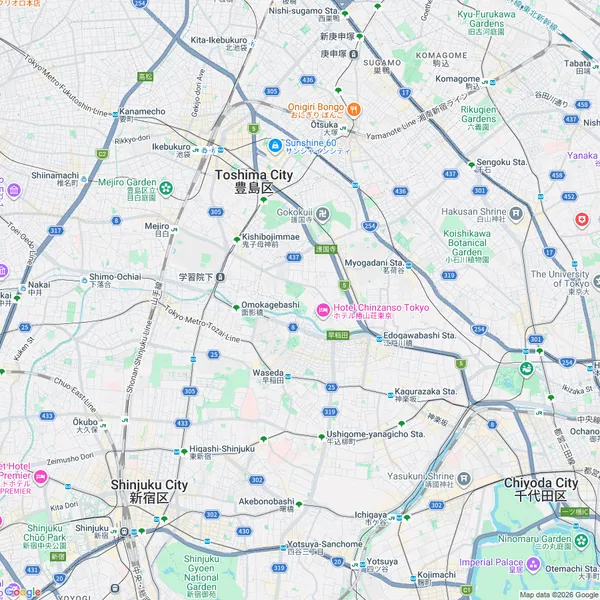
With slight cloud cover and a nearly full moon still waiting to set, conditions weren’t completely ideal. Even so, we could see a stunning starry sky.

MAVERIK (5:20)
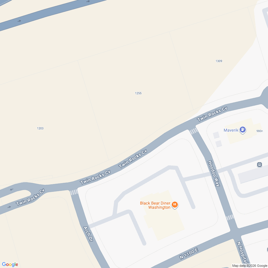
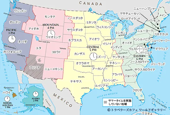
Our first restroom break at a gas station. This is where time zones start getting complicated. Compared to Nevada, where Las Vegas is located, Utah and Arizona are one hour ahead. However, this particular location observes Daylight Saving Time within Arizona, so in summer it ends up in the same time zone as Nevada after all.

Wanting something vaguely American to drink, I bought a Mountain Dew.

Looking back now, I think this video I watched ages ago was the culprit:
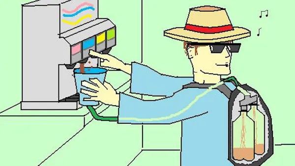
Apparently this video left quite a mark on my subconscious, because the day after the tour I went to Taco Bell and bought a Mountain Dew Baja Blast. At the time, I had completely forgotten about the video, and the fact that what they stole was Baja Blast was buried in the far reaches of my memory, but something deep in my psyche must have gotten triggered.

*Not a photo from the day of the tour.

Firewood was being sold in front of the store. Looks like we have arrived in seriously outdoorsy territory.
Watching Sunrise from the Van Window (7:06 MST)
Since we were in Utah, the clock jumped forward one hour from Las Vegas. From here on, timestamps will be given in MST.
I filmed the moment of sunrise on video:

It might be hard to hear over the driving noise, but at the exact moment the sun rose, the guide thoughtfully cued up some nicely epic music.
Pilot Travel Center (7:50)
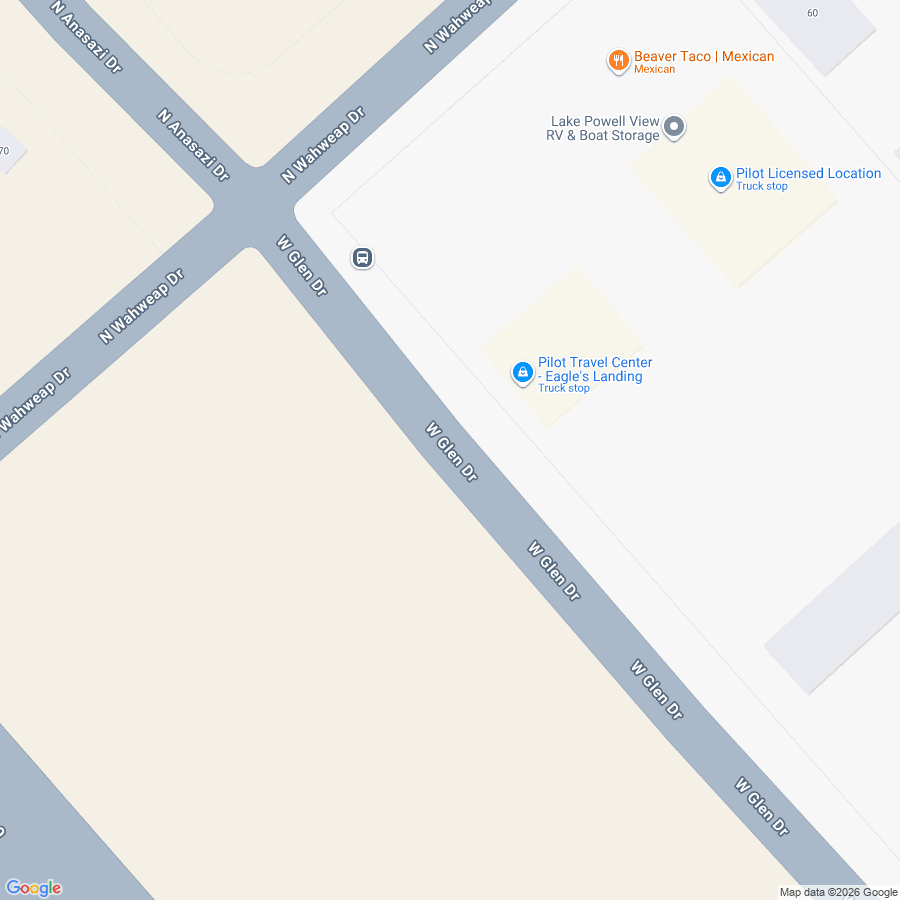
Second restroom break. We were in Arizona, but because it doesn’t observe Daylight Saving Time, it remained MST. Seriously confusing.

Perhaps due to the extremely low humidity, my throat was insanely parched. The dryness in this region is no joke. While staying in Las Vegas, I went out once without drinks, and thinking I didn’t want to buy water in a shop, I went without; far beyond chapped lips, I ended up coughing blood from my throat. So you must never hold back on drinks.
Having chugged all of my Mountain Dew, I bought coffee here. Since caffeine is a diuretic, it might have been an improper choice for quenching thirst.

A self-serve system where you pour from dispensers like these and then pay at the register. The reverse of the order in Japan, but the clerk kindly explained it to me.
By the way, all the local people I encountered on this trip were remarkably kind. Coming to America, I had been trembling with fear that service would be brutally sloppy or that I might face racial discrimination, but nothing of the sort happened. Once people realized my English was poor, many spoke slowly using simple grammar, and no communication failure caused any trouble.
Beginning without fail with “Hi” and ending with “Have a good day!”, I actually felt more warmth than in Japan. This might be because the gun-toting society and tipping culture give people high motivation for hospitality.

Digressions aside, I had bought coffee.
Photos probably don’t convey it, but the coffee cup is massive. The coffee creamer is massive too. And this was supposed to be the smallest size.
There were several types of creamer; beyond plain milk, some were flavored with cinnamon or vanilla. I chose vanilla.
Lake Powell Overlook (7:00)
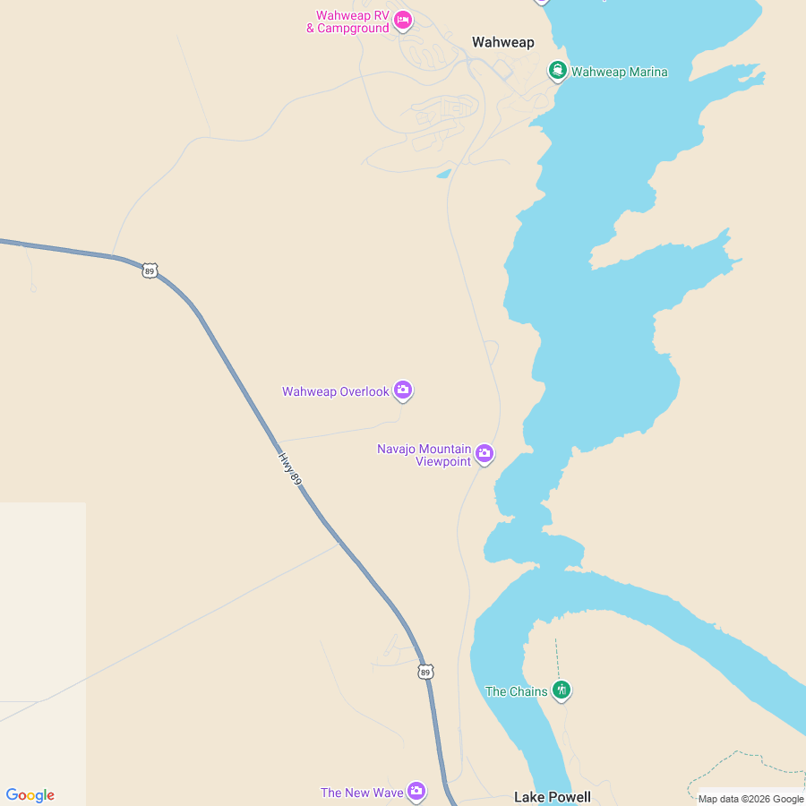
From here, the serious sightseeing begins. The first stop is the Lake Powell Overlook.

A man-made reservoir held back by the Glen Canyon Dam. Our current location was just south of Wahweap in the lower-left corner of this map:

Basking in the blazing sunlight after being cooped up in the car for so long felt fantastic. Or rather, it was hot.

A nice shot of our trusty steed, the van. It provided quite an entertaining bit of drama of its own. En route, strange noises began coming from the brakes. In the end, the guide took it into a shop for repairs while we toured Antelope Canyon, resolving the issue, but it delivered that pulse-pounding thrill of “we might get stranded in the dead center of the desert.” I don’t mean this sarcastically; in truth, it felt like an authentically American event and was hilarious fun.
After this, we crossed Glen Canyon Dam Bridge and headed south. At that moment, I was amazed by how completely different the water levels were before and after the dam. Naturally so, being a dam.
Horseshoe Bend (7:30)
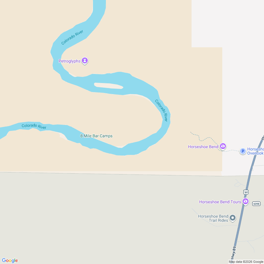
We walked through a roughly 15-minute trekking trail from the parking lot toward the viewing spot.

Notice the sign on the left. We’re going to see that thing everyone has seen on a wallpaper or something at least once!

Pet Waste Eliminator. Or, pet poop cleanup gear. In other words, plastic bags.

Make memories, leave no footprints. Because it accelerates weathering, even stacking rocks into cairns is prohibited.

Something is coming into view…

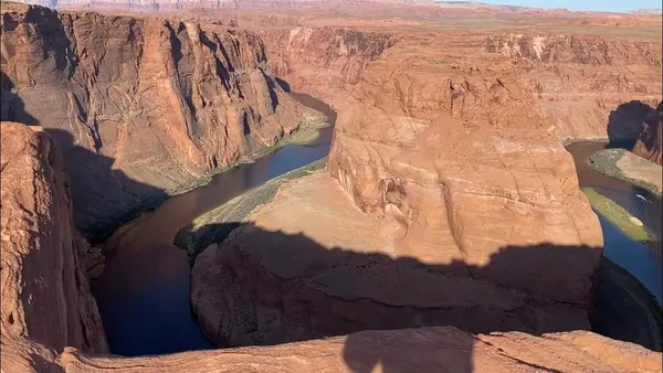
Horseshoe Bend!

A 50mm lens doesn’t have a wide enough angle of view, so I shot with my phone’s wide-angle camera too.

Here is how the layout looks. Right on the opposite rim from the tip of the curve, an observation platform is set up, allowing you to observe it at your leisure.

Boats look so tiny down there. No surprise, given the cliff is a whopping 300 meters high. The phrase “5000 fall damage” flashed through my head.
The reason I was so terrified of fall damage is that you really could easily fall to your death here.

The observation platform’s railing just cuts off halfway through…

And you can pull stunts like this. Look closely and notice I’m standing on one leg.

The reason my foot barely lifted off the ground is because of where I was standing to take the shot.
I took a video as well.
Reminiscence
Not strictly related to the main storyline, but air sports seemed quite popular around Horseshoe Bend.

A flock of paragliders.

A light aircraft. Strolling through the air with such majestic vistas beneath you is deeply enviable.
Now, seeing these sights suddenly reminded me of the game Pilotwings 64.

This game features a map modeling the United States called “Little States.” It was my absolute favorite map in childhood.
There are many works that instilled in me a longing for America, but Little States feels like the very origin. Next came the manga Shaman King—the first time I ever heard the phrase “Route 66.” And after that came the game GTA
It felt like this tour was also a pilgrimage to the holy sites of those fictional memories.
Gazing upon majestic scenery plunges you into introspection. Perhaps this is what it means to “know the place for the first time.”
Lower Antelope Canyon (9:40)
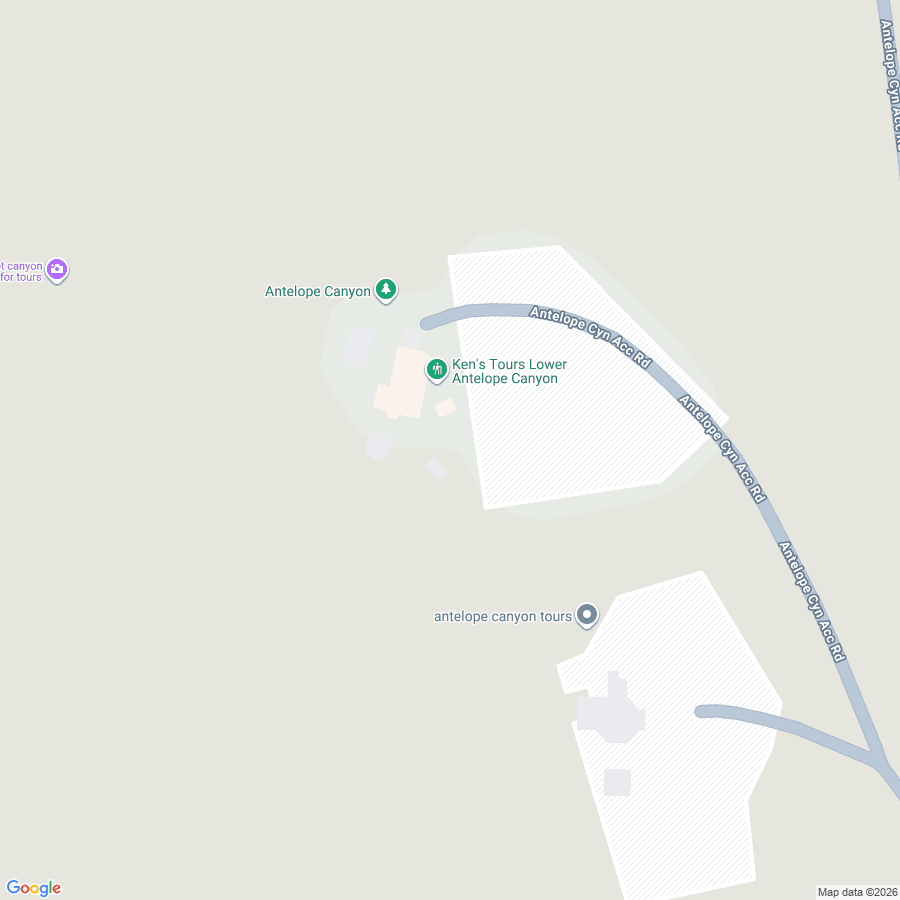
There are two varieties of Antelope Canyon: Upper and Lower.
- Upper Antelope Canyon: Entered at ground level, walking along relatively flat terrain. The famous sunbeams can be seen here, but only during specific hours in the summer when the sun is directly overhead. The interior is somewhat wider.
- Lower Antelope Canyon: Descends via stairs into a narrow subterranean canyon. Packed with ups, downs, and narrow passages, giving an adventurous exploration feel. You can enjoy gorgeous interplay of light and shadow year-round.
The tour I joined visited Lower Antelope Canyon. Antelope Canyon sits on Navajo Nation land and is considered sacred ground by them. Consequently, entering independently is forbidden; you must join a tour with an authorized Navajo guide.
…Though that is half principle and half pretext; for the Navajo, tourism resources are a vital source of revenue, so there are vested commercial interests involved as well.
According to the guide’s explanation, the relationship rests on a rather delicate balance. Summarizing as best as I can recall:
- The US government doesn’t want indigenous peoples stepping outside the reservations.
- So they handed over crap land, bare-minimum utilities, and food, basically keeping them in a state of suspended animation.
- Meanwhile, indigenous peoples figure that as long as their autonomy is recognized, remaining in that state is fine.
- So with a baseline livelihood guaranteed by the government, they want to earn pocket money through tourism resources.
Apparently this alignment of interests produced the current arrangement (of course, this is an oversimplification that ignores all historical context).
I knew this sort of stuff at a textbook level, but hearing it while standing directly on Navajo land, driving past several “Navajo Nation land ahead; US laws do not apply, proceed at your own risk” signs, gave it real punch.
Though a bit dated, there was a document like this:
Applicability of State vs. Tribal Law in General Civil Disputes
| Plaintiff | Defendant | Location of Dispute | Applicable Law |
|---|---|---|---|
| Indian | Indian | On-Reservation | Tribal Law |
| Indian | Indian | Off-Reservation | Tribal Law or State Law (Concurrent Jurisdiction) |
| Non-Indian | Indian | On-Reservation | Tribal Law |
| Non-Indian | Indian | Off-Reservation | State Law, Tribal Law also possible |
| Indian | Non-Indian | On-Reservation | Tribal Law; State Law if Tribal Law permits |
| Non-Indian | Non-Indian | State Law |
In short, if you get into a dispute with an indigenous person on the reservation, tribal law essentially applies.
Also, items allowed into Antelope Canyon are strictly restricted: bags of any kind (any pouch-like item) are banned, and only things that fit in pockets plus cameras are permitted. In fact, if you drop an item inside the canyon, you should consider it gone forever (since US laws don’t apply).
As for photography, recording video is prohibited. Apparently, this rule was introduced after a YouTuber pulled obnoxious stunts in the past.

List of prohibited items. Basically, you can only bring cameras, smartphones, and water.
Finally, in the van, we learned Navajo greetings.
- ahe’hee
- Ahéhee’
- Thank you
- Try using it after the guide snaps a photo for you
- hágoónee
- Hágoónee’
- Goodbye
- Try using it at the end of the tour

Because our tour had been booked in advance, our guide handled the paperwork and we met up with our Navajo guide. Our original guide handed tips for all participants to the Navajo guide and took off. From here, our only option was interacting in English with our new guide.
The great thing about this tour was that admission fees and everything were fully bundled into the tour price. Aside from buying souvenirs or tipping guides, you didn’t need to spend a dime of your own money. The tour company seamlessly took care of troublesome hassles like bookings and tips for local guides. Being able to concentrate purely on the scenery and experience was deeply appreciated.
Also, the event of the guide switching over felt oddly emotional. The desert, the underground, switching guides… all of it made me think of episode 4 of Kemono Friends.
The reason Tsuchinoko physically replaces Boss as a guide is that Tsuchinoko is the guide to this underworld rather than the world of the living, and Boss is the guide to the world of the living rather than the underworld.
Kemonomyth: Kemono Friends and the Monomyth (Japanese Translation & Transcript)
First, we set off across the barren terrain.

Sunbathing, perhaps?

Flash flood warning sign and our Navajo guide.
When rain falls upstream, massive torrents of water can surge into Antelope Canyon. In 1997, eleven people lost their lives in a flash flood. That tragic accident reportedly triggered today’s strict management.

Another guide (for the next group?) and the staircase descending into the canyon. Because the stairs are extremely steep, taking photos while on the stairs is strictly forbidden. Honestly, attempting to snap photos while climbing down stairs this steep would suggest a broken survival instinct.

View of the stairs looking up from the bottom. You can get a sense of the canyon’s immense scale.
The interior of the canyon was breathtakingly gorgeous. Apparently each distinctive rock formation has its own name, but I don’t remember most of them. However, at key points the guide kept pointing out things like “Microsoft wallpaper,” “Mac wallpaper,” and “Samsung wallpaper.” In truth, they were vistas I had genuinely seen as wallpapers.


Developing with pumped-up contrast makes them look genuinely like wallpapers.

This rock was called Jack Sparrow. Admittedly, it does look a bit like a side profile.

After walking for about 50 minutes and just as I was starting to get tired of the scenery… at last, an ascending staircase appeared.

Lower Antelope Canyon viewed from above. We had been trudging through the bottom of this very crack the entire time.
Guide: Have you enjoyed?
Me: Yes! That was very cool!
Guide: When something is really cool like that, you’re supposed to say, Fuckin’ awesome!
Me: Oh, I see! So… this tour is fuckin’ awesome! You are fuckin’ awesome!
Guide: Hahaha!
Thanks to an exchange like that, I hit it off with the guide. At the end of the tour, we took a commemorative photo together.

What a wonderful smile.
Lunch in the Van (10:10)
For lunch, a Subway meal combo had been prepared for us, which we ate inside the van.

Bigger than Japanese Subway sandwiches, plus it came with chips and a banana. Having walked quite a bit, having plenty of food was great, but even so, it was massive. Why is all American food supersized? (I devoured every bite.)
Moenave Dinosaur Tracks (11:15)
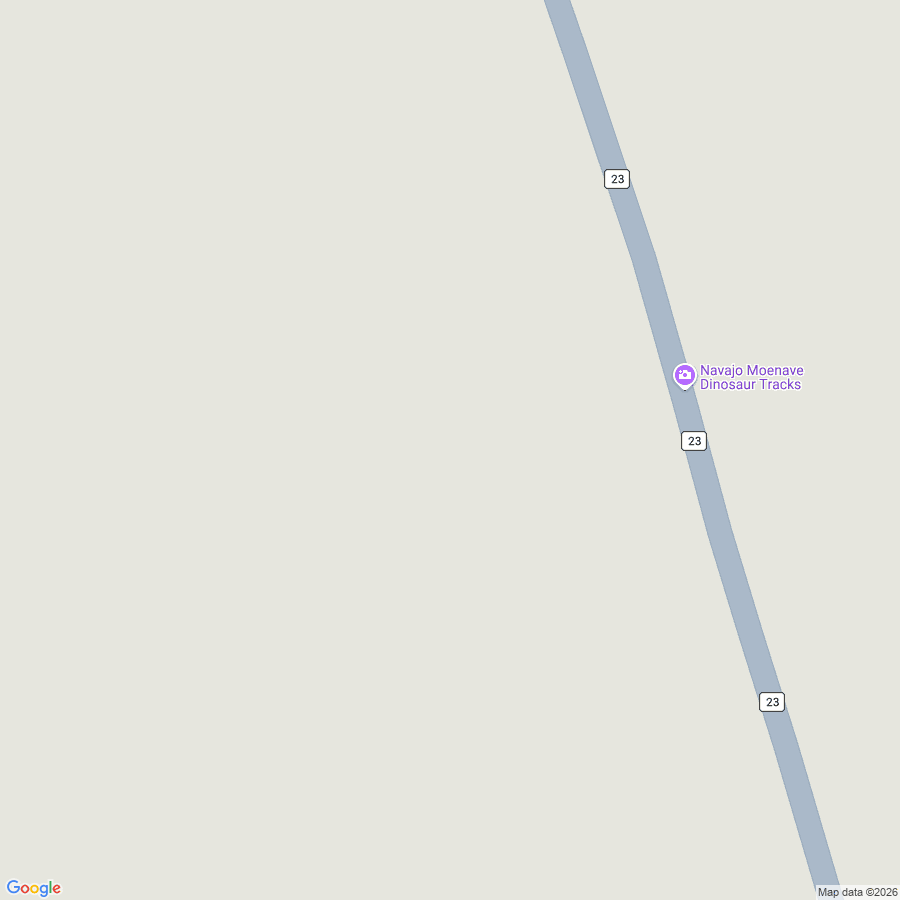
Bidding farewell to the mystical scenery of Antelope Canyon, our next destination was the Moenave Dinosaur Tracks. True to its name, dinosaur footprints remain preserved here as fossils.
As for how on earth that happened, see Gemini’s explanation below. It matches what our guide told us, so it is probably accurate.
The reason dinosaur footprints still remain at the Moenave Dinosaur Tracks today is due to the fossilization process. Specifically, the tracks are thought to have been preserved through the following steps:
- Track Formation: During the era when dinosaurs lived (Early Jurassic of the Mesozoic, roughly 190 million years ago), dinosaurs walked across damp sand or mud. This left impressions in the ground.
- Rapid Burial: Before the tracks could weather away or get washed out by water, another layer of sediment (sand, mud, etc.) rapidly buried them. This served to protect the impressions.
- Fossilization (Lithification): Over immense periods of time, both the layer containing the tracks and the overlying layer were compressed by subterranean pressure and mineral action, turning into sedimentary rock (in this case, sandstone). Through this process, the shapes of the footprints were preserved three-dimensionally within the rock.
- Exposure: Later, across an even longer expanse of time, tectonic activity and erosion wore away the upper rock layers, exposing the stratum bearing the dinosaur footprints on the surface.
The site of the Moenave Dinosaur Tracks is believed to have been an environment like a lake or river shore at the time, conditions well-suited for preserving tracks. Left within sandstone layers, these footprints became exceptionally hard rock, allowing them to endure erosion down to the present day.

Upon arrival, a vast wasteland spread out before us. At first glance it looks like an ordinary rocky field, but looking closely at the ground, countless indentations indeed dot the surface.

The guide splashed water into the hollows to make them easier to see.

Apparently all these stacked rocks are coprolites (fossilized poop).

Fossilized eggs.

A quintessential fossil that looks straight out of a textbook. Tapping it produced a light, hollow clacking sound.

A souvenir shop flying various flags. The wind picked up, sending the flags fluttering nicely against the blue sky. Incidentally, the sunlight was scorching; walking around with my sleeves rolled up because of the heat gave my arms a solid sunburn that started stinging.
Cameron Trading Post (13:00)
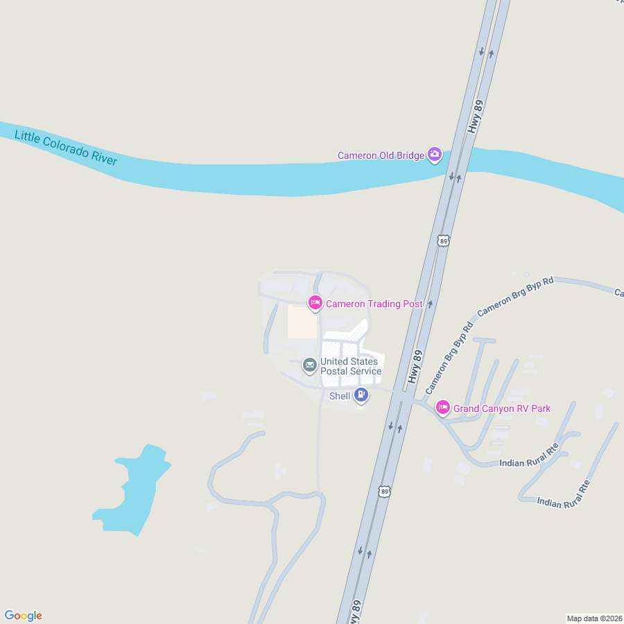
A slightly longer stop for a restroom break and souvenir shopping. Native American goods, Grand Canyon goods, and Route 66 merchandise were on sale. But since better places to buy the latter two lay ahead, sticking to Native American goods here seemed like the smart move.
Cameron Trading Post is reportedly a historic site actually used in the past as a trading post between the Navajo and Hopi tribes. The building’s exterior had a lovely frontier-western aesthetic.
I bought a dreamcatcher. Apparently a device that filters out nightmares.

Between agonizing over what to buy and my camera battery entering the danger zone, I couldn’t take many photos.

Out in the American wasteland, even a designated smoking area sign somehow looks cool.
Grand Canyon National Park South Rim (12:46)
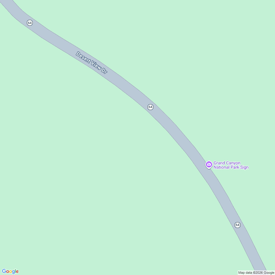
At last, we arrived at the main event of this trip: the Grand Canyon’s South Rim! Before arrival, the guide pumped up our excitement by playing Grand Canyon-esque music.
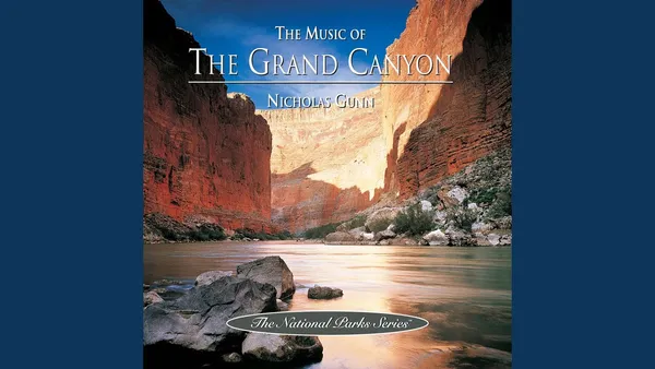
I believe the album played was probably this one…
Reminiscence
Apologies for getting personal, but here comes an abrupt pivot to Genshin Impact. Listening to the Grand Canyon-esque music playing in the van, I was suddenly hit with the sensation: “I am in Natlan right now!” I shouldn’t have ever heard Native American music before, yet the melodies and the timbre of the flutes felt intimately familiar from just recently.
Yes, Natlan’s regular battle theme, “Anthem of the Savannah”! My absolute favorite track lately.

(Is that woodwind playing before the hook a Native American flute?)
I knew Natlan was a nation reflecting cultures from Central and South America to West Africa (having not played the Archon Quest yet, I can’t say with absolute certainty, but presumably).
Yet only when coming here did the music and the views through the window make me realize: “Wait, does Natlan reflect Native American cultures as well?”
And the definitive piece of evidence that turned this hunch into certainty lay inside the guide map handed to us when passing through the Grand Canyon gate:

Kachina—isn’t that Kachina-san from Natlan who was handed out for free!
Checking after getting back, it indeed turned out to be correct:
A kachina (/kəˈtʃiːnə/; Hopi: katsina [kaˈtsʲina], plural katsinim [kaˈtsʲinim]) is a spirit being in the religious beliefs of the Pueblo people, Native American cultures located in the south-western part of the United States.
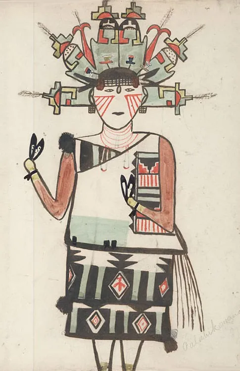
A kachina is a spirit being in the religious beliefs of the Pueblo people, a Native American culture situated in the southwestern United States. And Kachina-san’s name was almost certainly taken from this. In Genshin Impact, character names from each region reflect the real-world locales that served as their inspiration.
Therefore, the fact that Kachina from Natlan bears a name based on a Native American spirit is proof that Natlan unmistakably reflects Native American culture.
…Looking at it this way, an even deeper layer of meaning stacked onto this Grand Canyon tour. In the game, I had just started the Natlan Archon Quest. Moving from Las Vegas, overflowing with water and technology, to the Grand Canyon, overflowing with aridity and primal power, was structurally isomorphic to traveling from Fontaine to Natlan.
Throughout this tour, I was essentially reliving the sensations of my in-game avatar. A rather bizarre realization, isn’t it? Rediscovering the thrills of an open-world game in the real world.
Lipan Point (13:00)
Having unexpectedly achieved [oneness] with the Traveler, the van arrived at Lipan Point. While there are multiple viewpoints in this area, Lipan Point is apparently something of a hidden gem.
And so, here is the main dish of the day: the Grand Canyon viewed from the ultimate vantage point!!!
Developing it with pumped-up contrast turned the colors delightfully trippy.

A shot taken with a smartphone camera looks like this. While what the phone captured is probably closer to actual appearance, the high-contrast version feels truer to the scenery preserved in my memories.
As for my impressions, it was simply overwhelming. Standing face-to-face with the Grand Canyon in person, its sense of scale, depth, and richness of color far exceeded anything I had imagined.
It sounds like a cliché, but confronted by the staggering spatial and temporal magnitude of the Grand Canyon, I was humbled by how utterly insignificant I am. That the entire Colorado Plateau was seabed until 70 million years ago, that it was uplifted around 30 million years ago and eroded to this extent up to the present day—it’s a story on a scale that human comprehension simply cannot grasp.

A shot from another angle of the spot where the above photo was taken. As usual, railings are only installed along a small section.
The elevation difference down to the Colorado River flowing along the canyon floor is roughly 1,400 meters. Even ignoring air resistance, falling all the way to the bottom would take about 17 seconds.

Our guide hard at work taking photos for every tour participant.

A vertical shot. Must set this as my phone wallpaper.
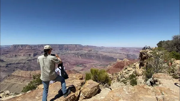
I took a video here too.
El Tovar Hotel (14:00)

El Tovar Hotel is an ultra-popular hotel where Emperor Showa and successive US presidents (except Trump) have stayed. The price tag is insane, but beyond that, bookings are reportedly full three years out.
However, anyone can enter the restrooms and gift shop. Time to buy Grand Canyon souvenirs.
I bought a rugged, American-made mug.

By the way, you can gaze upon the Grand Canyon from here as well. Still, my impression was that it can’t quite rival Lipan Point.


On the drive back, we ran into an astonishing number of wild animals.
Historic Route 66 (15:50)
All that remained was heading toward Seligman, the final destination of our trip.
We headed south from Grand Canyon Village and merged onto Interstate 40.
The route involved exiting the interstate at the town of Ash Fork and driving along old Route 66 until reaching Seligman.
But before driving Route 66, first came commemorative photo time by the road sign.

Props like American flag-patterned hats and Route 66-patterned flags had been prepared, letting us snap plenty of Americana photos.
Cruising down Route 66 toward Seligman, our guide blasted old music that travelers hopping between roadside towns back during Route 66’s heyday would have listened to. Beyond awesome.
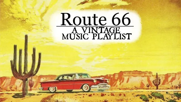
Tracks like this. The good oldies, as they say.
Now, let’s briefly touch upon the history of Route 66.
Established in 1926, along with the boom and democratization of the automotive industry, Route 66 emerged as a highway symbolizing the American Dream, featured in countless movies, music, and literary works, and affectionately dubbed the “Mother Road.”
However, starting in the late 1950s with the construction of the more efficient Interstate Highway System, Route 66 abruptly lost its travelers and was officially decommissioned in 1985. Following its decommissioning, many towns that once flourished along Route 66 faced economic decline, but grassroots preservation movements spearheaded by Route 66 enthusiasts and local residents sprang to life.
The grassroots movement moved the government, ultimately saving Route 66 from extinction, and a significant portion of the highway was preserved as Historic Route 66. Apparently, “Historic” is attached because, system-wise, it could not retain the active designation of “Route 66.”
And the key figure behind this Route 66 preservation movement is none other than Seligman barber Angel Delgadillo, nicknamed the “Guardian Angel of Route 66.”
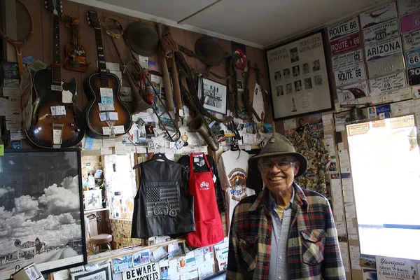
Originally operating a barbershop in a corner of a pool hall, when he started stocking Route 66 merchandise it sold like hotcakes, so he converted the pool hall into a gift shop and made a fortune. Approaching 100 years old, he is still going strong, and with good luck you might even run into him in Seligman.
Seligman (16:20)
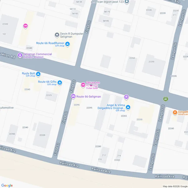

At long last, we arrived at the final destination of our trip: Seligman. A town where time froze the moment Route 66 was decommissioned.
Angel & Vilma Delgadillo’s Original Route 66 Gift Shop is the very store run by Angel mentioned above. Inside the shop are exclusive merchandise available only here, a life-sized cutout of Angel, the barber chair preserved for souvenir photos, and more.

Perhaps because Japanese tourists frequently visit on this tour, the staff seemed to know a little Japanese and were exceptionally kind. I purchased a mug and a Route 66 centennial hat (next year marks 100 years). I normally never buy hats, but I was completely intoxicated by vacation mode.
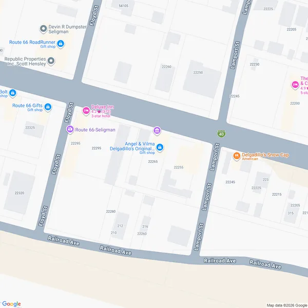
Another spot introduced in the van. This one is a burger joint, but its soft-serve ice cream is especially delectable. A tour participant from Hokkaido had raved about it, and in fact it was insanely delicious.

They too were clearly accustomed to handling tourists, treating us with all kinds of friendly, hilarious hospitality. That classic joke of billing you 1,000 times the actual price—I thought that was unique to Osaka, but turns out it exists in America too…

Behind the shop stretches an indescribable junkyard (?).


This is reportedly the spot that inspired Pixar’s movie Cars. I’ve never seen Cars myself, but if I had, it probably would have stirred deep emotions (I really should catch up and watch it).
Heading Back to Las Vegas (17:00)
After soaking up Seligman’s atmosphere and shopping, we began our return trip.
Under US Department of Transportation regulations, commercial drivers can only drive for up to 10 consecutive hours. And this limit is strictly monitored via an app (?). Having reached the maximum driving limit, our guide swapped drivers for the journey back to Las Vegas.
Arriving in Las Vegas (20:00)
With one restroom break along the way, I bought water.

We arrived back at the Bellagio Hotel in Las Vegas at 8:00 PM. Having slept like a log the entire ride back, I remember nothing. Before I knew it, we were in Las Vegas.

That’s it! And with that, this tour was complete.
Recovering from My Blunder (50:15)
…Or so it was supposed to be, but right here I pulled off a catastrophic blunder. I lost my camera.
Retracing my memory, I must have left it inside the van. Between grogginess and exhaustion, I completely forgot to double-check my belongings at the end. Praying for a miracle, I called them the morning after the tour, and they found the camera inside the van.
Beyond having a local phone contact that assists in Japanese, having a LINE support channel was a lifesaver. Because I was using a data-only eSIM without a phone number, I could only make phone calls from the hotel (completely unrelated, but American hotels don’t charge for domestic phone calls, huh).
Via LINE came the report that the camera had been found, followed by word that if I came to the pickup spot for another tour departing late the following night—five hours before my flight out of Las Vegas—they could hand it over. Godlike support.
And so, around 2:00 AM two nights after the tour, I headed out to retrieve the camera, but another drama ensued right here.
Attempting to walk there as a casual stroll, I got trapped inside a casino along the way and almost got softlocked. Managing to find an exit, I hailed an Uber, but due to GPS location issues, the driver arrived at a completely different pickup spot on the opposite side of the mega-building.
Only 15 minutes left until the tour departure. Since it takes about 5 minutes by car to reach the meetup location, there was no longer time to walk around to the correct pickup point. Thinking I was completely screwed and would have to pay to ship the camera via international mail… sudden divine inspiration struck: “Wait, why not just grab a taxi?”
Although I had heard warnings that hailing cabs in America can be risky, this was literally the only option left to salvage the situation.
Bracing myself, I jumped into a cab, and the driver was wonderful! When I explained my predicament, he kindly accommodated me by initiating the payment process early before we even pulled up, helping me make it in time.
Thanks to him, I arrived safely with 5 minutes to spare before the cutoff. Reunited with the guide, I got my camera back. Had this failed, around 70,000 yen (about $450) worth of property and the vast majority of my souvenir photos would have vanished into thin air, so I was immensely grateful. And deeply sorry for the trouble caused.
The Route
That wraps up my record of the whirlwind tour from Las Vegas to the Grand Canyon.

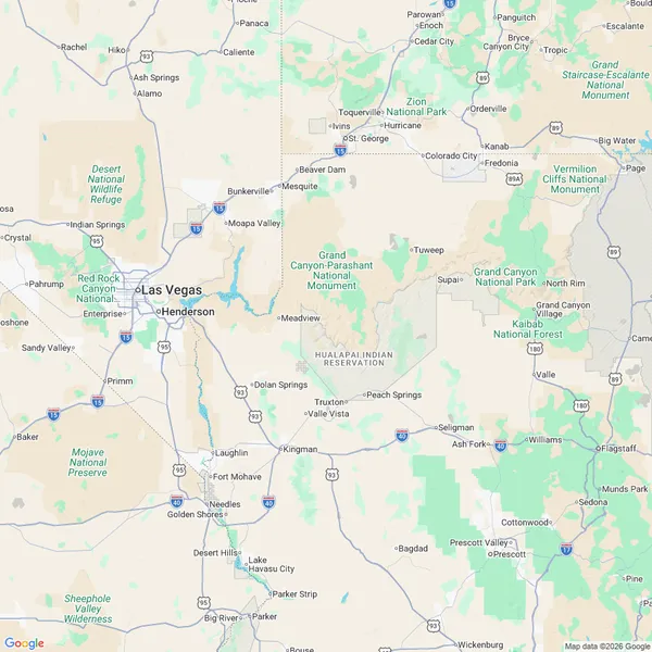
Here is how our route looked. Essentially looping clockwise all the way around the Grand Canyon before heading back to Las Vegas. While future tour operations should follow a similar route, note that it won’t necessarily be identical every single time.
Final Thoughts
It was truly a blast! Joining this tour was hands down the right call. There is no way I could have covered this many destinations on my own steam. Having all the annoying logistics—reservations for every site, tipping, and so forth—completely handled was a massive relief.
What left the deepest impression on this tour was, without question, the staggering scale of the landscapes and the passage of time felt there.
Starting from midnight stargazing, to the breathtaking sunrise, the tranquil waters of Lake Powell, the jaw-dropping vistas of Horseshoe Bend, the mystical interplay of light and shadow in Antelope Canyon, the primordial traces of prehistoric life etched into the Moenave Dinosaur Tracks, and the grandeur of the main dish: the Grand Canyon. None of it can be fully conveyed through words, photos, or video; it was an experience felt with all five senses. Witnessing terrain sculpted over tens of millions of years of Earth’s history left me completely speechless.
The tour’s design was superb as well. Learning about Native American peoples, reminiscing over the good old days of America along Route 66 and in Seligman—far beyond a simple tour of scenic viewpoints and Instagrammable spots, getting to feel human history and culture was wonderful. While the internet has made searching for information trivial, you ultimately cannot search for knowledge you don’t even know exists; the experiences gained on this tour belonged squarely in that realm, opening a doorway into the unknown.
And above all, what made this tour truly exceptional was undeniably the guide.
The guide came to America in his twenties, fell head over heels in love with this land, and relocated to the US for good. This tour was roughly his 1,000th time guiding, and his veteran presence showed. Beyond smooth, fast driving skills and rich commentary backed by deep knowledge, his hospitality in keeping participants entertained, his impeccable taste in background music along the road, and above all, his deep love for this land and his craft shone through brilliantly.
If anyone among my readers ever visits Las Vegas in the future, this tour is well worth squeezing in even if you have to forcibly clear a day. In fact, traveling to Las Vegas just for this tour would be completely justified. Not paid promotion or stealth marketing at all—I wholeheartedly recommend it.
Thank you so much for reading this far.

Fuckin’ awesome!
More articles
- Impressions of Genshin Impact Ver. 7.1 Snezhnaya, Up Through Act IV "A Rekviem for the Underworld"• #Genshin ImpactAfter two years, I've finally caught up with the current release.
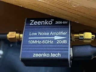
- I Bought a Cheap Wideband LNA from AliExpress, the Zeenko ZK06-BM• #RadioI used the Zeenko ZK06-BM to intercept METEOR-M2 4 and got the best satellite image I've ever received.
- On the End of the World• #ScreedIt's Ragnarok.
- Thoughts on Genshin Impact's Nod-Krai Storyline• #Genshin ImpactI finished Nod-Krai.
Notes on games, radio and technology, translated from the Japanese blog.